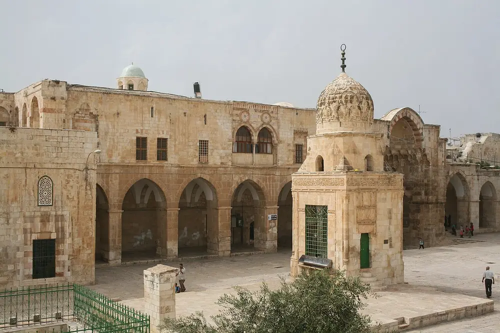
Western precinct frontage: the Uthmaniyya Madrasa with its pale dome, Ashrafiyya at left, and the Qaytbay fountain in front.Photograph · 2011
Diego Delso·CC BY-SA 3.0· Resized and converted to WebP for the web; cropped in cards. Original image license retained.
Overview
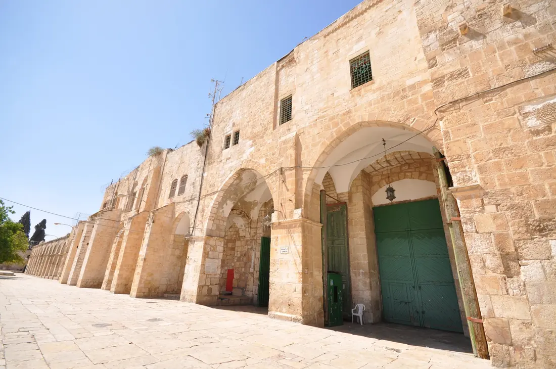
Four Mamluk foundations connect the western portico to the streets and institutions beyond it. [1][3][4]
These schools are built into the western edge rather than standing freely in the courtyard. Their entrances and windows connect the sanctuary to neighboring lanes, while rooms and courts extend beyond the enclosure line. [1][3][4]
Two foundations in this group bear the names of women who endowed them. The Uthmaniyya’s name should not be read as a simple Ottoman date: the custodial record places its foundation in the Mamluk period. [2][4]
Details & spaces
Explore the named elements associated with this place.
Al-Manjakiyya
المدرسة المنجكية
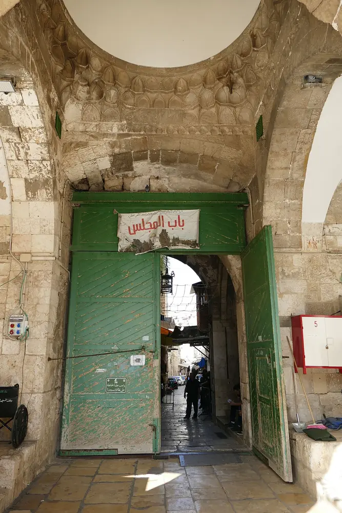
A two-storey foundation beside Nazir Gate, attributed to Emir Manjak in 1361. Awqaf traces its later conversion through residential, educational and administrative uses. [1]
Al-Khatuniyya
المدرسة الخاتونية
Endowed by Ughul Khatun al-Baghdadiyya and dated in the Awqaf record to 1354. It combined teaching with a funerary role and has windows facing the sanctuary. [2]
Al-Arghuniyya
المدرسة الأرغونية
A two-storey foundation between Iron and Cotton Merchants’ gates. Awqaf dates it to 1357 and identifies its inscribed entrance, contrasting stonework and the tomb of its founder Emir Arghun. [3]
Al-Uthmaniyya
المدرسة العثمانية
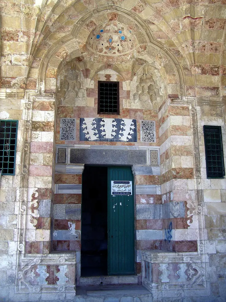
Founded by Isfahan Shah Khatun in 1437 according to Awqaf, south of Ablution Gate and beside Al-Ashrafiyya. The building has an open court and a red-and-white stone entrance. [4]
PASSIA · Jerusalem Awqaf · Hashemite Fund · Printed pp. 54–65; map legend on PDF page 35
Consulted 2026-10-13
Custodial guide from an Islamic perspective. Used for the baseline inventory and schematic relative positions; its access descriptions are historical, not live advice.
About this record
Relative positions are illustrative; this is a heritage atlas, not a walking route or live access map.
This grouped page is a regional reading of four distinct foundations; its marker does not identify a single entrance.